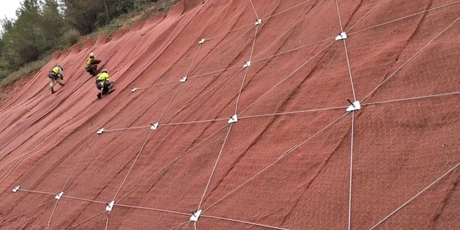
In Bognor Regis the ground can catch people out. You might be looking at a gentle slope along the Aldwick Bay coastline or an embankment near the South Downs and assume it’s stable. Then a wet winter comes, the water table shifts, and suddenly there’s movement. We’ve seen it happen. Our slope stability analysis digs into what’s actually going on beneath the surface; we don’t just tick boxes. The geology here mixes chalk, sands, and soft clays, and that combination demands more than a generic desktop study. If your project involves a cut, a fill, or a retaining structure, we pair the assessment with a test pit investigation to verify the soil profile firsthand, because assumptions aren’t a substitute for site data.
A slope in Bognor Regis isn’t just soil and rock—it’s a system that reacts to water, weather, and time. We model that system.
Approach and scope
Bognor Regis sits at roughly 7 metres above sea level, but pockets of the town—especially the Aldwick and Felpham areas—deal with raised beach deposits and reworked chalk that can behave unpredictably when saturated. A proper slope stability analysis here has to account for that variability. We follow Eurocode 7 (BS EN 1997-1:2004) and BS 5930:2015 as our baseline, combining limit equilibrium methods with parameter sets from lab tests like the triaxial and direct shear. What matters to you is the output: a factor of safety you can trust, plus clear recommendations on drainage, reinforcement, or regrading. We avoid jargon when plain English works better. Every report includes a geological model, a summary of failure mechanisms we looked at, and a practical note on what the results mean for your planning application or construction phase.
Common questions
How much does a slope stability analysis cost in Bognor Regis?
For a typical residential or small commercial slope in Bognor Regis, the analysis usually falls between £1,080 and £3,180. The final figure depends on slope height, access conditions, and the amount of site investigation data already available. We’ll give you a fixed price once we’ve seen the site.
What BS EN 1997 design approach do you use for slopes in the UK?
We apply Design Approach 1 (DA1) as set out in the UK National Annex to BS EN 1997-1. This means we run two combinations—Combination 1 and Combination 2—applying partial factors to actions and material properties separately. It’s the standard method for slope stability work in the UK.
Do I need a full ground investigation before the stability analysis?
You need enough information to build a reliable geological model. At minimum, that means knowing the soil strata, the strength parameters, and the groundwater level. If you don’t have that yet, we can arrange trial pits or boreholes in Bognor Regis first and then feed the lab results straight into the analysis.