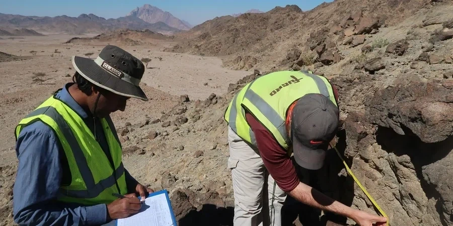
The ground conditions between Aldwick Bay and the town centre of Bognor Regis shift more than most engineers expect. Residential plots near the seafront often sit on raised beach deposits and wind-blown sand, while sites closer to the A29 corridor encounter the London Clay Formation at depth, with a complex cover of brickearth and head deposits. These contrasts mean that two structures just a kilometre apart can experience fundamentally different seismic demands during a low-probability event. Microzonation work in Bognor Regis has to capture the transition from dense gravels in the marine terrace to softer alluvium in the Lidsey and Felpham lowlands, because shear-wave velocity profiles can double or halve across a single postcode. We run the lab programme that feeds these maps: resonant column tests, cyclic triaxial suites, and bender element measurements on undisturbed samples, all tied to borehole geophysics that we cross-check with a MASW survey where access permits, and with in-situ permeability testing when pore-pressure response needs to be calibrated against stratigraphy.
Site response in Bognor Regis can shift from stiff gravel to soft clay within twenty metres of spread; microzonation maps that boundary so the foundation design doesn't guess.
Common questions
What is seismic microzonation and why does Bognor Regis need it?
Microzonation divides a town or site into zones with different ground-motion response characteristics. Bognor Regis sits on the West Sussex Coastal Plain, where raised beaches, brickearth, alluvium and the underlying London Clay create sharp lateral changes in stiffness. A single seismic hazard value for the whole town would be misleading; microzonation gives the structural engineer spectral accelerations that reflect the actual ground column beneath each part of the site.
How is a microzonation map produced?
The process starts with a dense grid of geophysical measurements (MASW, downhole seismic, or crosshole) to capture shear-wave velocity profiles. We then take undisturbed samples at key layer boundaries, run dynamic laboratory tests to determine modulus reduction and damping curves, and build one-dimensional site-response models. The results are interpolated into contour maps of PGA, spectral acceleration at 0.2 s and 1.0 s, and site class per BS EN 1998-1.
What ground conditions in Bognor Regis most affect seismic response?
The critical factor is the contrast between the stiff gravels of the raised beach deposits and the softer silty clays in the Lidsey valley and former marsh areas. Even thin soft layers can amplify ground motion at certain periods. Depth to the London Clay also matters: where the clay is shallow, the site tends to be stiffer; where it is overlain by thick alluvium, the fundamental period lengthens and spectral accelerations can increase significantly.
Can a microzonation study help reduce foundation costs?
The reference range for this service in Bognor Regis is £3.090 - £13.440. The final price depends on the project scope and volume.
What does a microzonation study cost for a site in Bognor Regis?
For a typical Bognor Regis site, a microzonation study including geophysical survey, targeted sampling, dynamic laboratory testing, and site-response modelling ranges from £3,090 to £13,440 depending on the number of measurement points, the depth of investigation, and the complexity of the drift geology across the footprint.