Bognor Regis sits on a coastal plain where much of the town lies below 10 metres AOD, and the underlying geology shifts from brickearth to Chichester Formation sands over short distances. The shallow water table, often within 1.5 metres of the surface during winter, means that compaction control on site must be verified quickly and accurately. Our laboratory team runs the sand cone density test in situ, following BS 1377-9:1990 procedures, to confirm that placed fill and subgrade meet the specification before moisture conditions change. The method remains the most reliable direct measurement of in-place density for granular soils, giving the contractor and the engineer a result they can act on immediately. In a town where residential estates and coastal defences are constantly being upgraded, the sand cone density test provides the field verification that Proctor-based laboratory targets are actually being achieved under real construction traffic and weather.
A sand cone test done within half an hour of placing gives the site team a density figure they can use to adjust roller passes before the next lift goes down.
Site-specific factors
Sites near Aldwick and the seafront encounter clean marine sands that drain freely, while inland developments around North Bersted sit on silty brickearth that holds water and compacts differently. The sand cone method exposes both situations clearly: in free-draining sand, the test hole can collapse if the material is dry and unbound, requiring a different excavation technique to preserve the sidewalls. In silty brickearth, the moisture content can drift above optimum after a rain shower, and the relative compaction result drops even though the same compactive effort was applied. Without field density checks, a contractor might place a lift that passes visual inspection but fails the specification by 3–4 percent, a margin that leads to differential settlement later. Our technicians record the weather conditions, the time since placement, and the exact test location on a site plan, so the results can be interpreted alongside the ground conditions that existed at the moment of testing.
Common questions
How much does a sand cone density test cost in Bognor Regis?
A single sand cone test typically falls between £70 and £110, depending on site location, number of tests per visit, and whether immediate moisture content determination is required on site. We provide a firm quote once we understand the number of lifts, access constraints, and testing frequency specified in the earthworks plan.
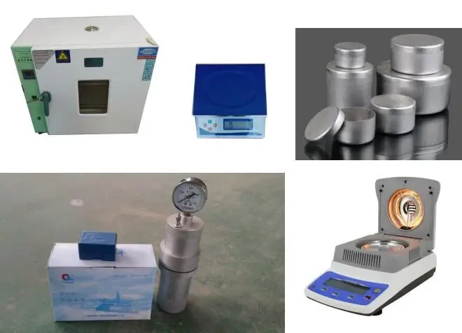
How long does one sand cone test take on site?
From setting out the plate to weighing the excavated material and filling the hole with calibrated sand, the field procedure takes about 20 to 25 minutes. The moisture content result follows after oven-drying, but the dry density can be calculated immediately on site using the laboratory Proctor curve, so the contractor gets a pass/fail indication before the next lift is placed.
Which British Standards apply to the sand cone test?
The procedure we follow is BS 1377-9:1990, the sand replacement method for in-place density. The laboratory reference test is BS 1377-4:1990 for the Proctor compaction curve, and the broader site investigation framework is BS 5930:2015+A1:2020. On highway schemes, Highways England SHW Series 600 governs the compaction end-product specification.