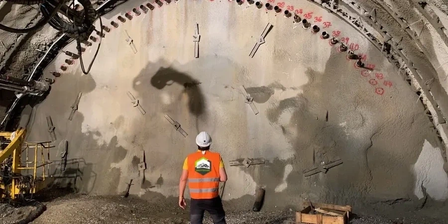
A recent basement excavation on Aldwick Road encountered groundwater barely two metres below street level, a scenario familiar to anyone who has worked the West Sussex coastal plain. The contractor, initially relying on visual inspections alone, soon faced slumping in the temporary batter as pore pressures shifted overnight. This is precisely where systematic geotechnical excavation monitoring transforms the safety and economics of a project. Bognor Regis sits on a layered sequence of Brickearth, raised beach deposits, and the underlying London Clay Formation, creating a hydrogeological profile that demands continuous observation of lateral movement, vibration, and water level. Our team deploys inclinometers, piezometers, and precision total stations to build a real-time picture of ground behaviour, allowing the design engineer to validate assumptions and adjust support sequencing before minor movement becomes major damage. For projects that involve deep excavations in the town centre, this monitoring becomes the contractual and technical backbone of the observational method.
On the Bognor Regis coastal plain, pore pressure changes faster than a laser scan cycle — monitoring must be continuous, not periodic, to catch the critical trend before it becomes a failure.
Site-specific factors
With a population exceeding 60,000 and a dense Victorian-era urban core, Bognor Regis presents a distinct excavation risk profile: many construction sites sit directly adjacent to masonry terraces with shallow, strip-footing foundations that are acutely vulnerable to settlement-induced cracking. The superficial geology compounds this, as the permeable raised beach gravels can act as a confined aquifer when capped by less permeable Brickearth, leading to rapid base heave if a cut is advanced without depressurisation. A failure to monitor pore pressure and lateral deflection here does not merely risk a collapsed excavation; it threatens neighbouring property, utility corridors, and the contractor's reputation. The technical response involves automated total stations reading targets on adjacent buildings, complemented by in-place inclinometers in the shoring system, all benchmarked to pre-construction condition surveys. The slope stability of any temporary cut in these soils is similarly sensitive to rainfall, making real-time piezometric data a non-negotiable element of the site safety plan under CDM 2015 regulations.
Common questions
What monitoring frequency does BS EN 1997 require for a typical Bognor Regis excavation?
Eurocode 7 does not prescribe a universal frequency; it requires that the monitoring interval be sufficient to capture the expected rate of change. On Bognor Regis sites where tidal groundwater lag can be measured in hours, our protocol typically combines automated readings every 60 minutes with a daily manual survey check. The specific frequency is agreed with the designer in the monitoring plan and intensified during critical stages like base slab casting or berm removal.
How much does a geotechnical excavation monitoring programme cost for a small basement project?
For a single-level basement excavation in Bognor Regis with a standard instrumentation array (two inclinometer casings, three piezometers, and a settlement monitoring net), the monitoring programme typically falls within £680 to £1.970 for a four-week active observation period, depending on access constraints and the number of automated sensors required. This covers installation, data acquisition, weekly reporting, and final close-out documentation.
Can you monitor existing neighbouring buildings while we excavate?
Absolutely, and this is often the primary driver for monitoring in Bognor Regis given the close proximity of adjoining properties. We establish a pre-construction condition survey, then install optical prisms and tilt sensors on the structure. An automated total station records sub-millimetre movements, and the data is compared against threshold values agreed with the party wall surveyor and the structural engineer.
What do you do if the monitoring data shows a breach of the trigger value?
The monitoring plan is structured around a traffic-light system: green (safe), amber (exceeded trigger, investigation required), and red (stop work, implement contingency). If an amber alert occurs, our team immediately verifies the reading, informs the temporary works designer, and increases the monitoring frequency. The designer then evaluates whether the movement is stabilising or accelerating and may adjust the support sequence, add propping, or modify the dewatering regime before the excavation proceeds.