Bognor Regis sits on a coastal plain with Quaternary drift deposits overlying Upper Cretaceous chalk, where ground conditions shift within metres—something any contractor working near the seafront knows well. With a population exceeding 63,000 and ongoing regeneration pressure along the Esplanade, developers cannot afford to guess bearing capacity. The Standard Penetration Test provides direct N-value measurements every 1.5 metres, giving structural engineers the quantitative basis to size footings, estimate settlement, and check liquefaction susceptibility in loose saturated sands. For deeper chalk profiles encountered east toward Felpham, we often pair SPT data with CPT testing to capture continuous tip resistance where gravel stringers complicate interpretation. Our drilling crews operate rigs capable of penetrating the variable Made Ground that blankets much of the town centre, ensuring refusal criteria are properly documented per BS EN ISO 22476-3.
An SPT N-value alone means little — corrected for energy, overburden, and rod length, it becomes the single most cost-effective data point for shallow foundation design in the UK.
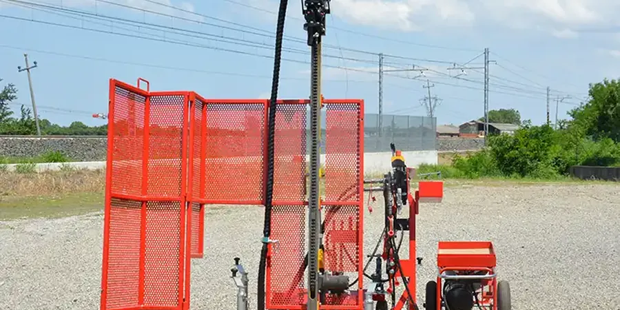
Approach and scope
BS 5930+A2:2015 and Eurocode 7 Part 2 govern SPT execution in the UK, and along the West Sussex coast these standards carry particular weight because the Chalk Formation weathers unpredictably. We use automatic trip hammers calibrated to deliver 60% of theoretical free-fall energy, correcting raw N-values to N60 before applying overburden and rod-length corrections. Every borehole log includes hammer type, sampler dimensions, and groundwater observations recorded at the time of drilling—transparency that becomes essential when comparing data across multiple phases of a project. In the Pagham Harbour area, where soft alluvial silts extend to depth, refusal often occurs on chalk putty zones rather than competent rock; our logs flag these transitions explicitly so geotechnical designers avoid overestimating end-bearing capacity. The test also recovers a disturbed sample in the split-spoon, which we examine for grain size, plasticity, and organic content in our ISO 17025 accredited laboratory, linking penetration resistance directly to soil description.
Common questions
How much does an SPT investigation cost for a standard residential plot in Bognor Regis?
For a single borehole to 10 m depth with SPTs at 1.5 m intervals, including mobilisation, drilling, logging, and a factual report, costs typically range from £470 to £680 depending on access conditions and whether hollow-stem augering is required through unstable Made Ground. Sites with restricted access or requiring traffic management on Bognor's narrower Victorian streets may fall toward the upper end.
How deep do you typically need to drill SPT boreholes before reaching chalk in Bognor Regis?
Across the town centre and seafront, the Chalk bedrock surface generally sits between 4 m and 12 m depth, but this varies considerably. Near the Esplanade, we have encountered chalk at only 3.5 m, whereas boreholes east of Felpham sometimes pass through 15 m of drift before refusal. We always confirm refusal criteria per BS 5930 rather than assuming a fixed depth.
Can SPT data from Bognor Regis sites be used directly for pile design?
SPT N-values provide useful screening data for driven pile capacity—particularly in the granular drift deposits common along the coastal plain—but they should be supplemented with in-situ pressuremeter or CPT data for final design of bored piles socketed into chalk. For displacement piles in sand, correlations such as Meyerhof (1976) or Decourt (1995) can give preliminary estimates, though site-specific load testing remains the most reliable verification method.